Southwest Day 1: Winter Park to Georgetown
August 24, 2021. 33 miles, 2750 ft of climbing.
I woke up pretty early but it took a while for me to get up the motivation to leave my warm sleeping bag. I got going around 9am, which seems pretty standard for me. I might need to try to shift that earlier later in the trip to make sure I have the time I need.
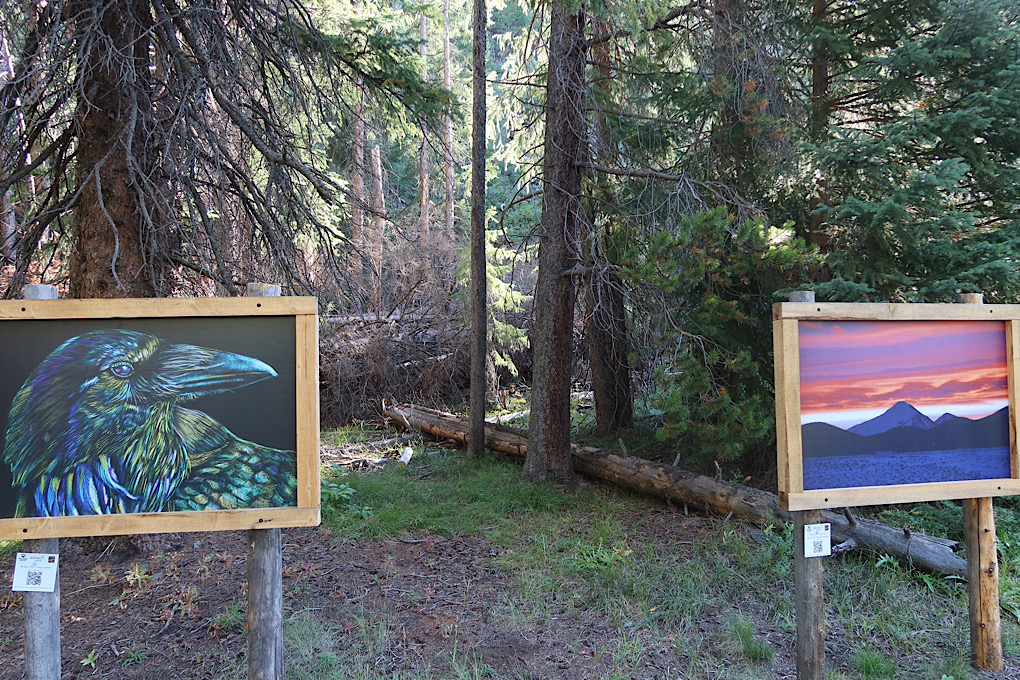
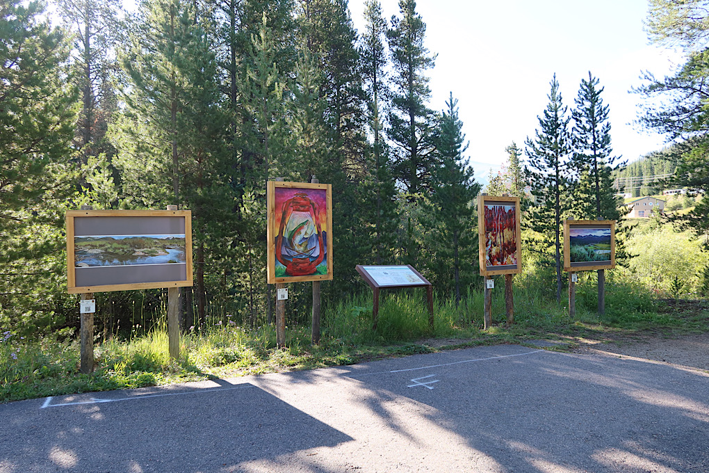
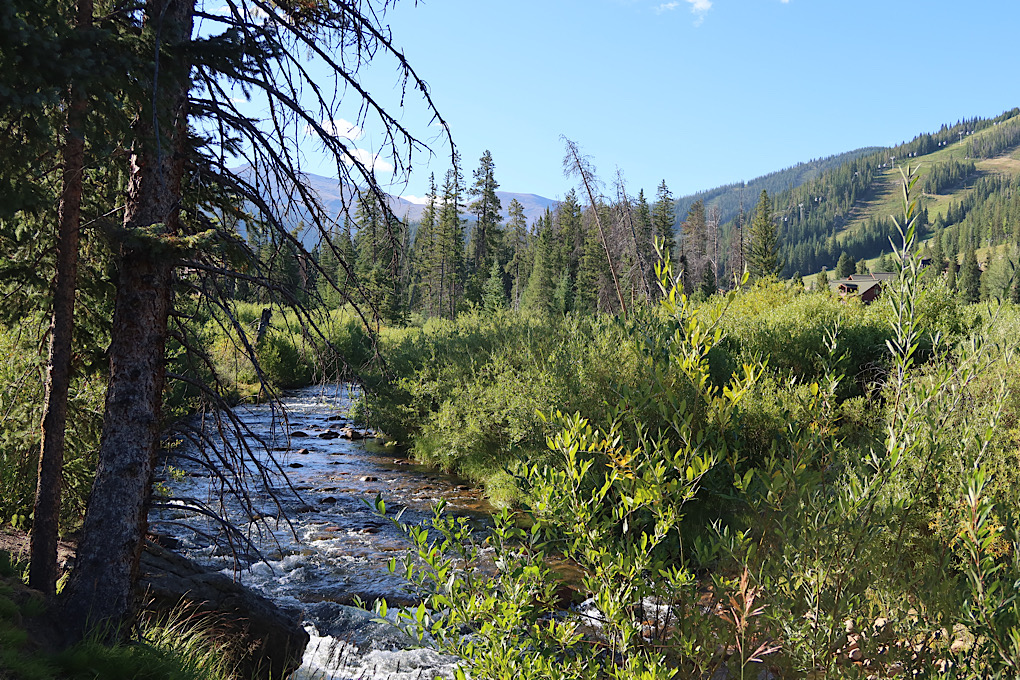
This was my first real day of riding, and I wasn’t entirely sure how it would go. Nothing like starting with a couple Rocky Mountain passes. The first part of the day was on the bike path though, which was nice. It even came with art.
The trail went up, gradually, along a stream. One thing I have quickly discovered about biking out here is that it’s really hard to judge grades. Lot of false flats, roads look more or less steep depending on exactly how you look at them. But at least when you’re biking upstream you can be a bit sure that you’re going uphill.
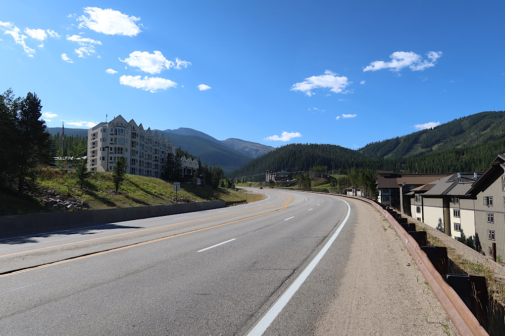
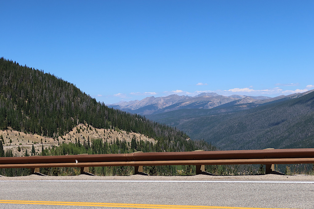
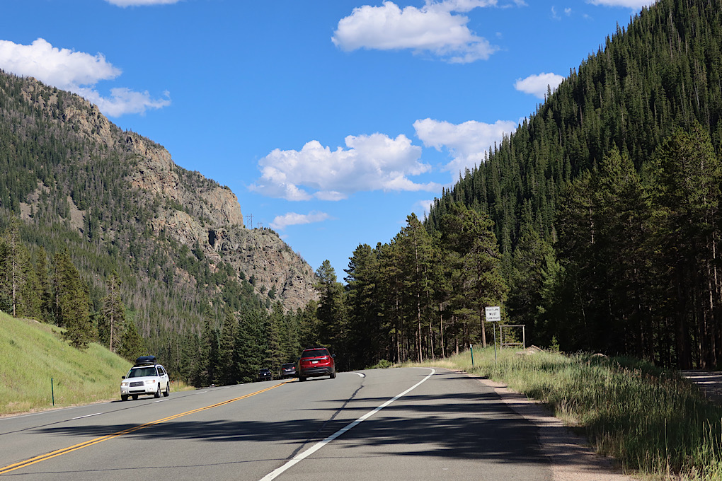
The bike path didn’t last forever and I soon hit US40 and got to hang out with cars. It wasn’t a bad road to ride on, and wasn’t that busy. Just lots of gradual up followed by somewhat less gradual up. And lots of trying to guess exactly which space between which mountains I was headed for.
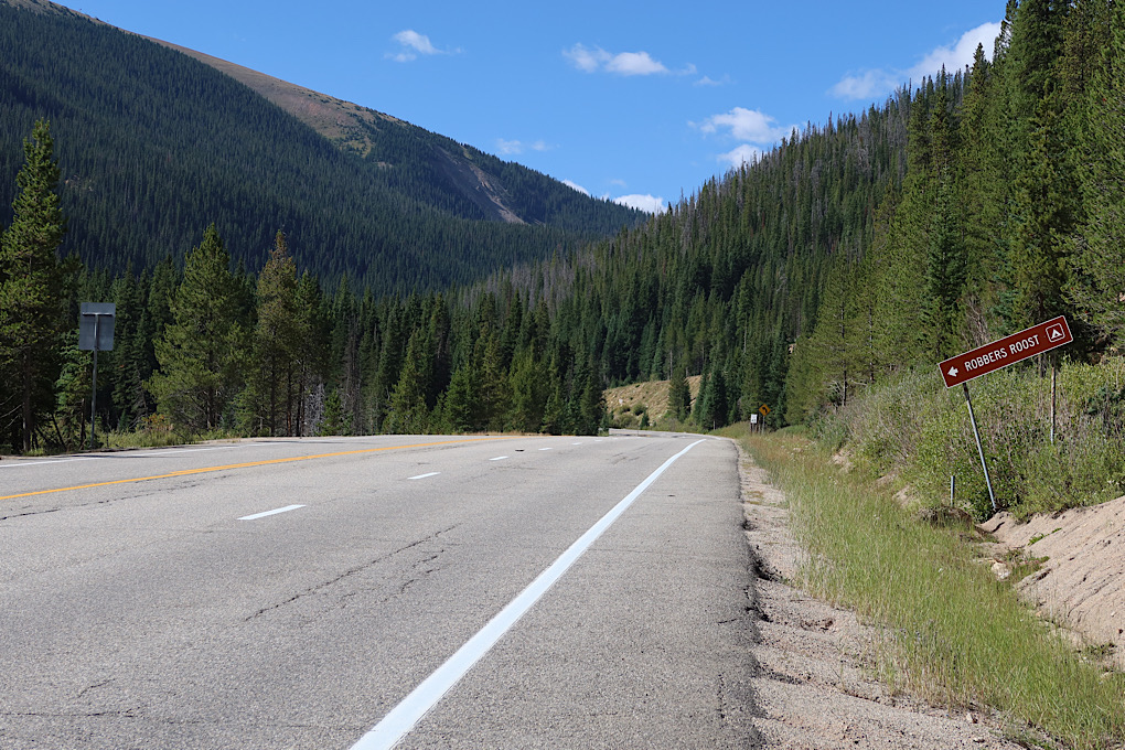
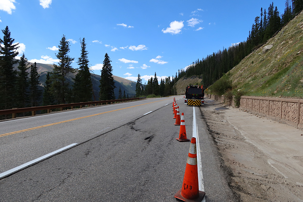
At one point half way up the pass or so there was a sign for road construction, which wasn’t a great thing to see. Turned out that the only thing going on was a couple of workers moving some rocks out of the road. So I mostly just got a whole lane to myself blocked off from traffic. So that’s about the best outcome to be hoped for there.
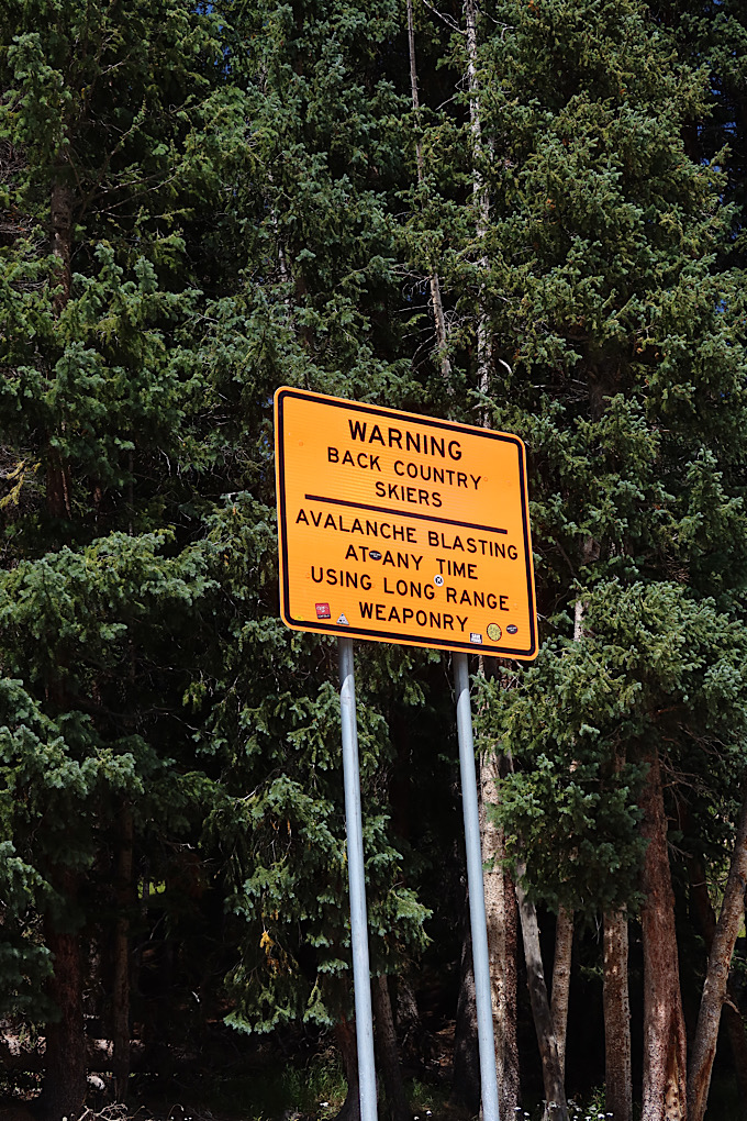
I certainly am not a fast biker up mountains (or ever). But I was even slower than usual, stopping quite a bit to catch my breath. I don’t want to push it too hard at high elevation right away, so I basically stopped whenever I started getting winded, which was frequently. But a couple minute of standing to get my breath back is generally enough. I did stop near a hiking trail pull-off just to sit for a little while. There I saw the first of these signs which, as it turns out, are all over around here. I doubt that there will be any avalanches this time of year, so backcountry hikers are probably safe.
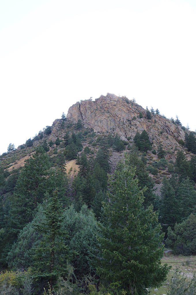
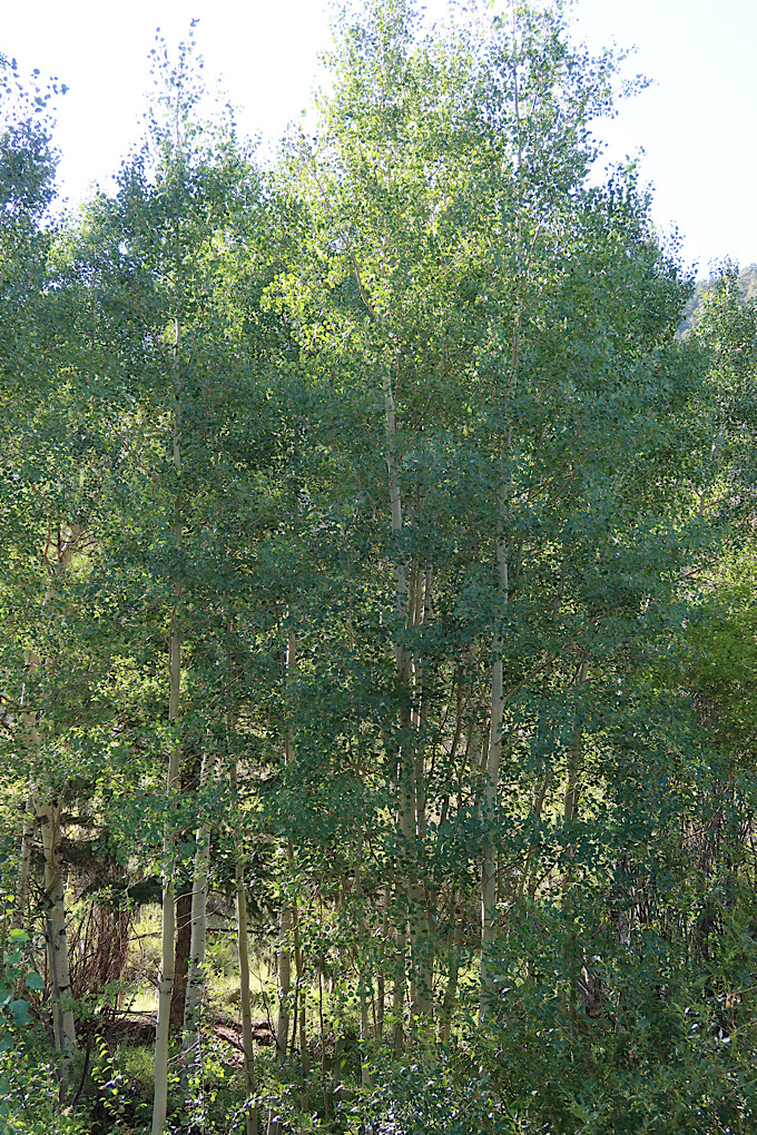
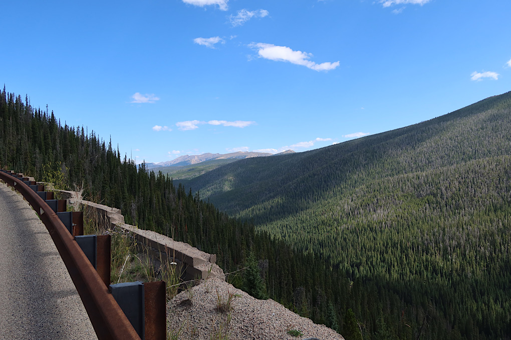
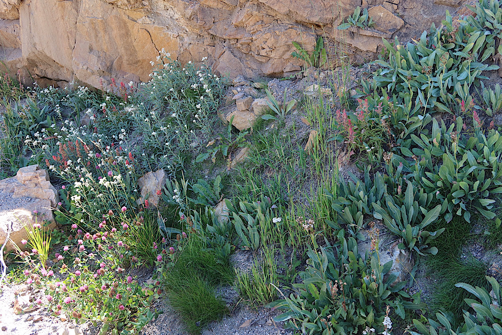
I got slower and slower as I got near the top. Slow and steady is the name of the game. There were lots of rocks and trees and mountains to look at. Plus roadside flowers. Compared to the trips in the Southern Hemisphere, all the plants are pretty familiar.
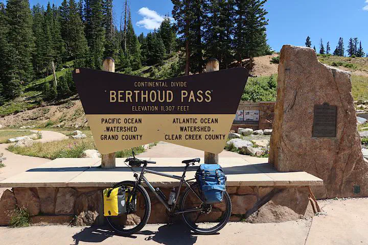
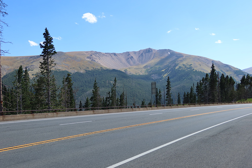
I finally made it to the top, which really felt like an accomplishment since I hadn’t really been sure that climbing Rocky Mountain passes was a thing I could do.

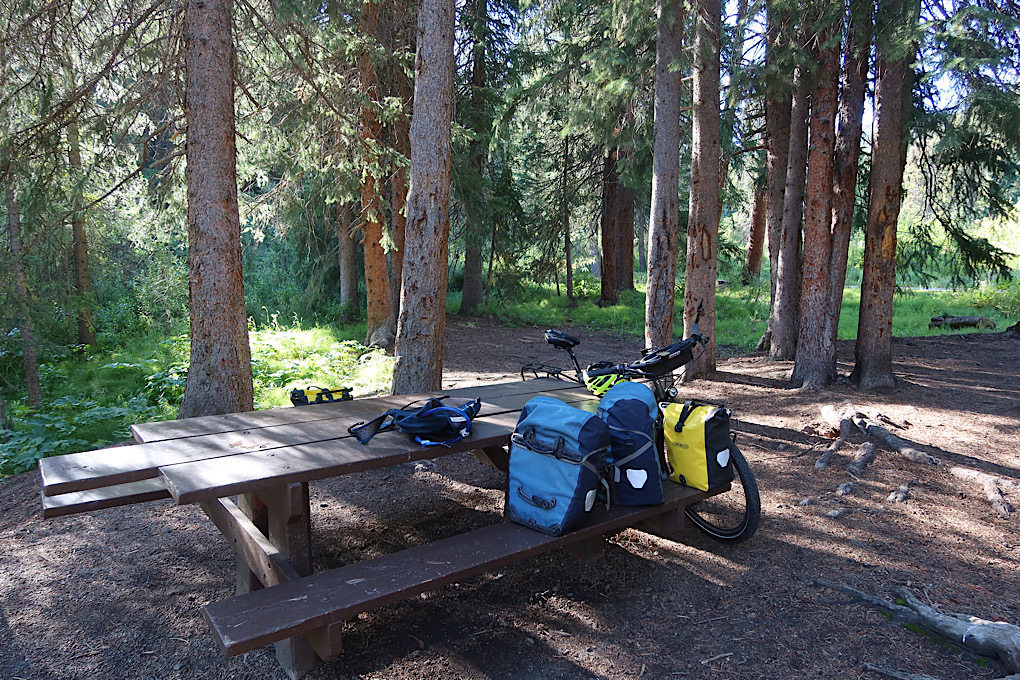
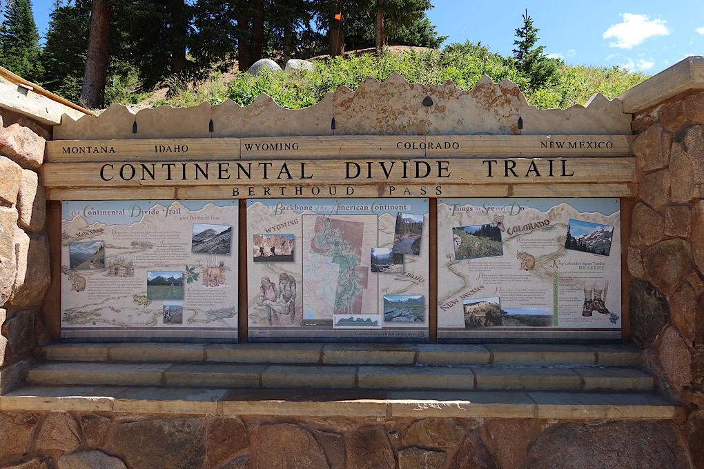
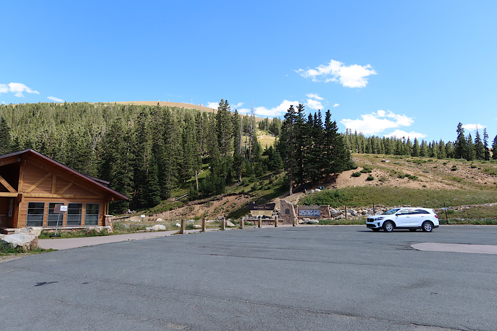
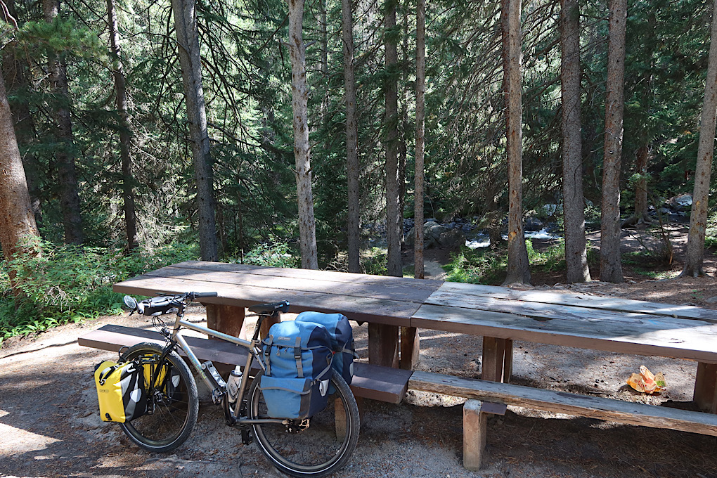
The parking lot at the top of the pass had a nice “warming building” with restrooms, and a bunch of trails leading off in both directions - primarily the Continental Divide Trail. It was a nice spot for a rest, and I ate lunch before heading down in search of oxygen.
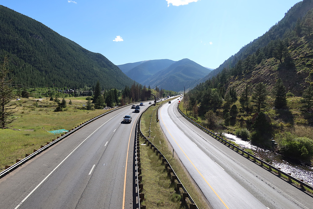
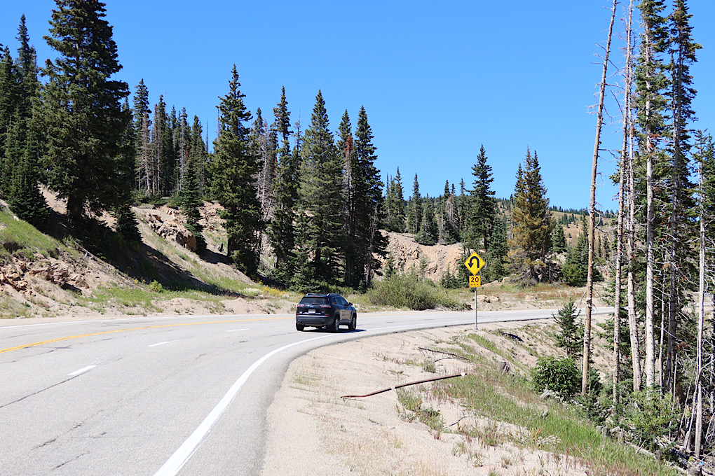
I think I definitely went over this pass in the right direction. I noticed on the way up that there wouldn’t have been very much shoulder going down, but on the other side there were giant shoulders. And giant retaining walls.
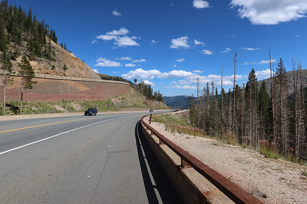
The downhill was great, though much shorter than the up of course. It wasn’t so steep as to be scary, but I still got to cruise without any effort on my part for miles. I resented I when I got to the flatter area near the end of the day and actually had to pedal.
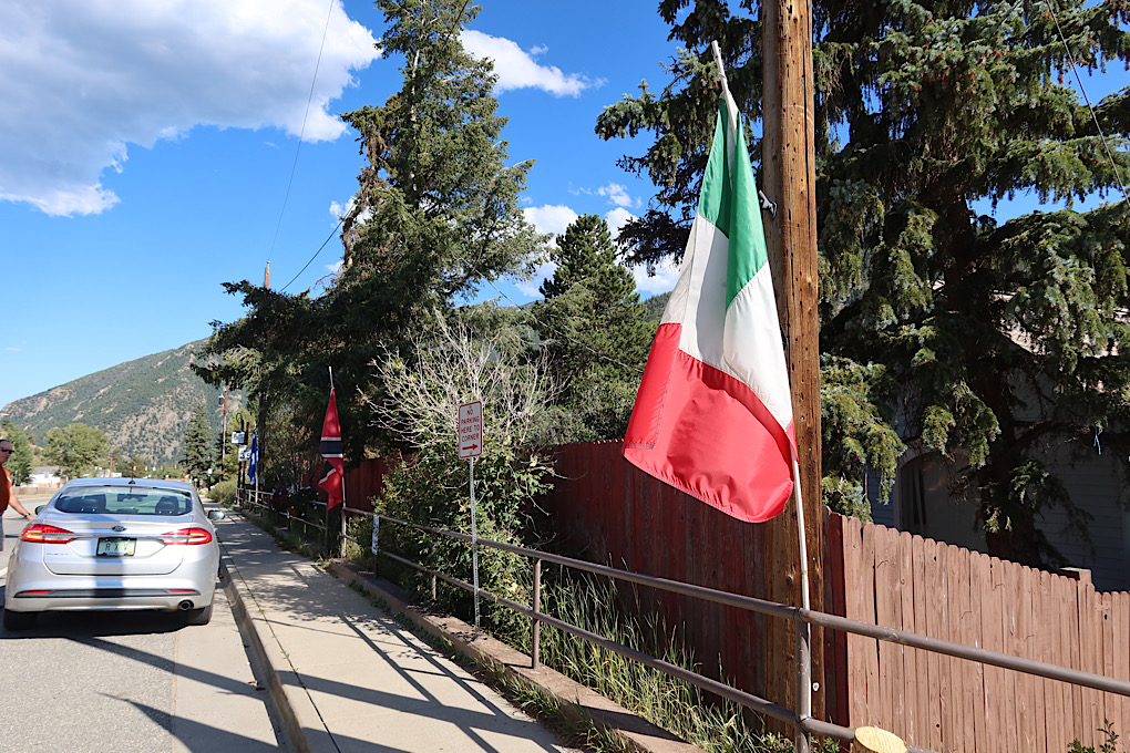
The first town I came to was Empire. The most notable thing about the place was the many international flags along the street.
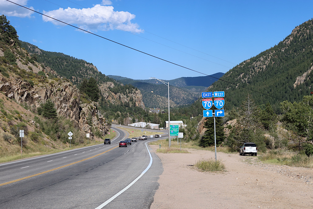
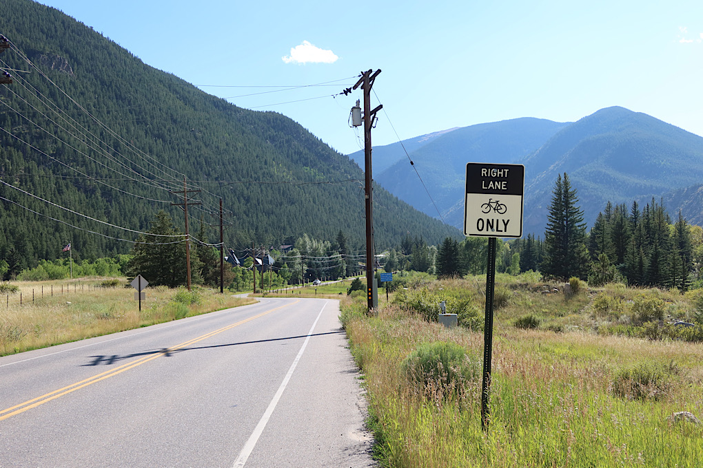
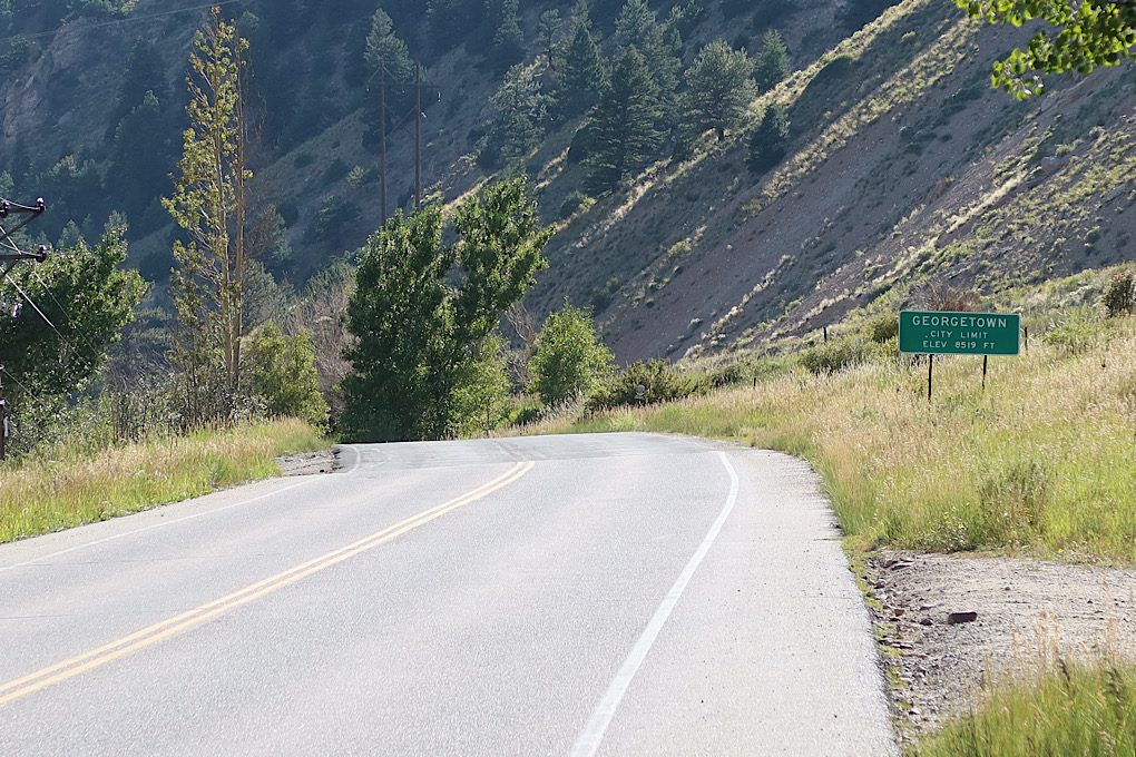
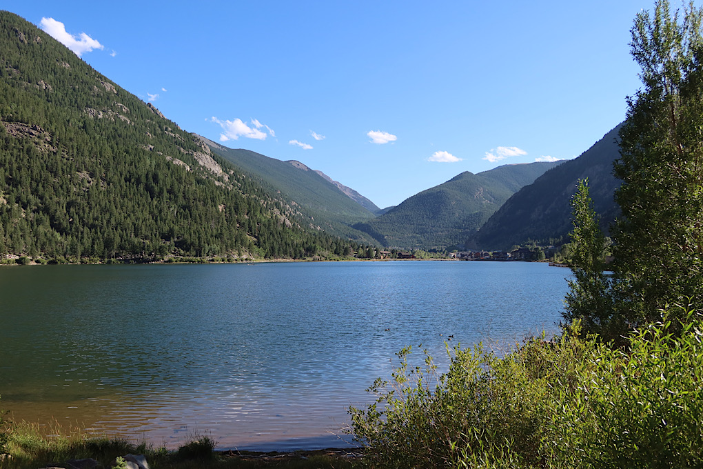
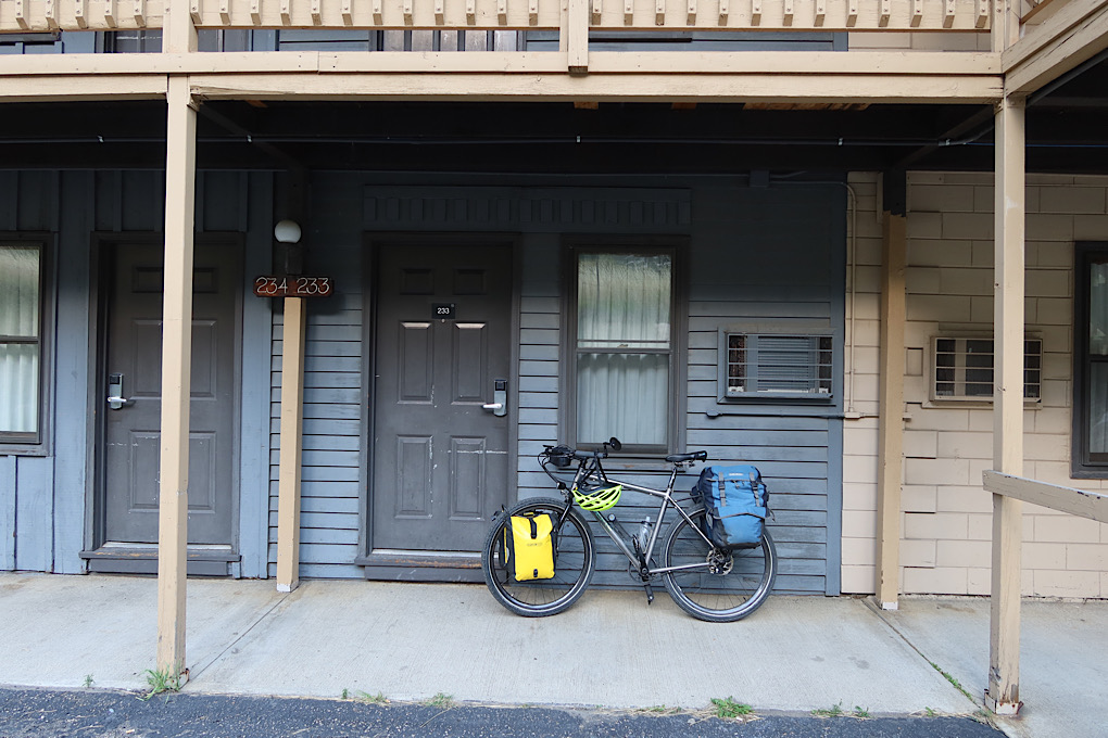
I soon got to the intersection with I70, went over it, and followed a small road with a shoulder generously described as the “right lane for bikes only”. There were a few tiny hills that I didn’t like, some variety in tree species, a nice lake, and then finally my motel in Georgetown. It was pretty run down, but I didn’t care. I got dinner on the porch of the restaurant across the street, and crashed.