TAS day 21: Wayatinah to Lake St Clair
January 16, 2016. 58km.
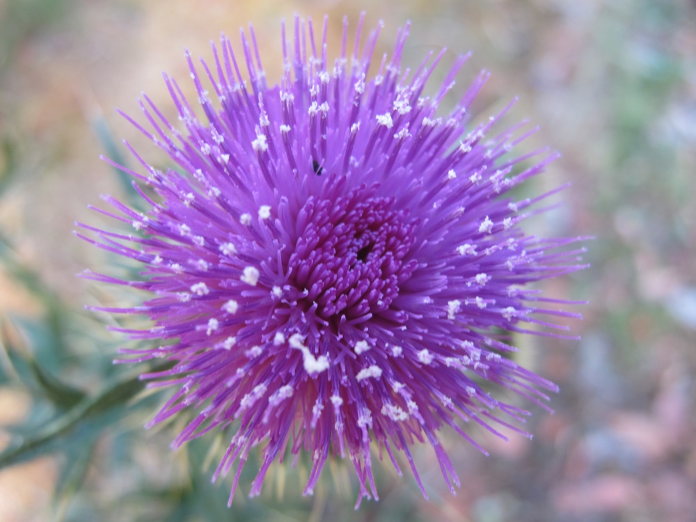
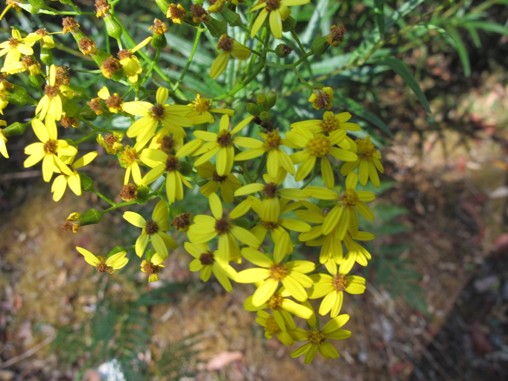
Today was a shorter day than expected, mostly because the tip from the campground owner saved 11km and at least several hundred meters of climbing. Even so, the climbing before the shortcut was certainly enough. The hill was one of the steeper I’ve encountered and went on for 13km, with what felt like a dozen false summits. I stopped half way up to take pictures of wild flowers and catch my breath.
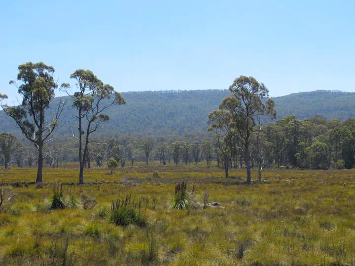
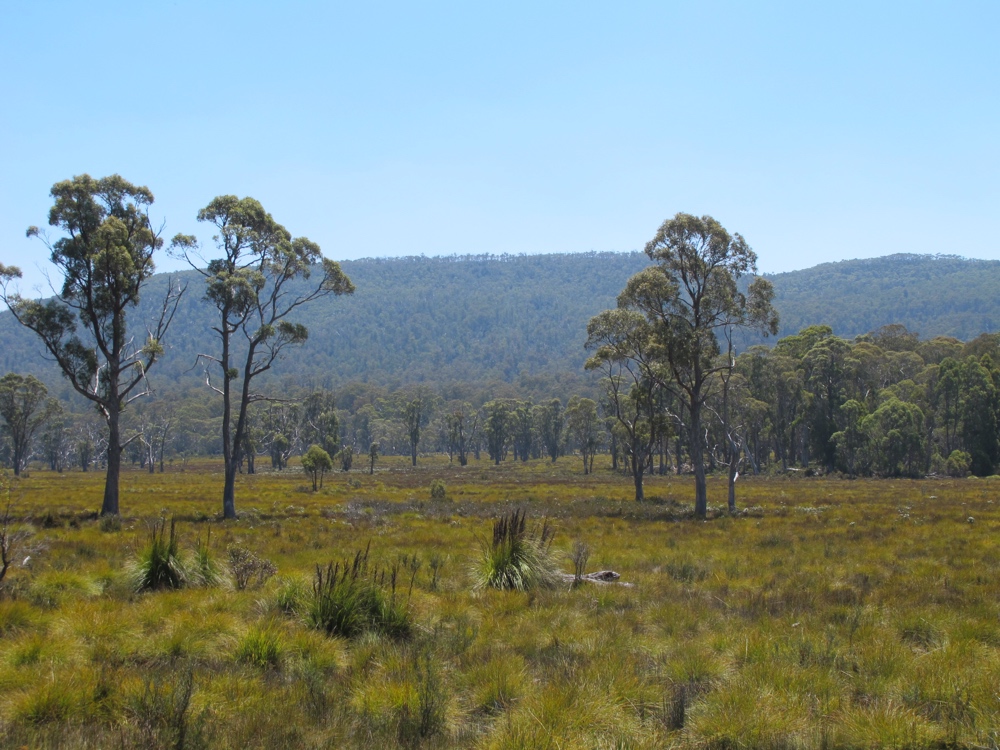
I saw somewhere online that though there are more hills in the west, they tend to be more shaded with better scenery. The ocean is gone, replaced by lakes and rivers. The lack of ocean reduces the drama a bit, but I think I agree that this scenery is better. At least it is greener.
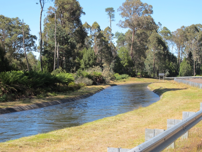
When I finally got to the top of the hill, I went along the gently undulating ridge top for a while. The was a canal along the road for a while that really looked like it was flowing quickly uphill. I imagine it was just an illusion. Or maybe it’s that water flows uphill in the southern hemisphere. Later, this canal joined a larger one going toward Terraleah. I believe this whole area is focused on hydroelectric.
Eventually I did find the turnoff onto C601, otherwise known as ‘Fourteen Mile Road’ (why that unit, I have no idea). The road turned out to be far from the worst dirt road I’ve ridden on, though also not the best. At least is was mostly ‘flat’, where flat means the Tasmanian version of the word – all the hills were small enough that I could see the top from the bottom.
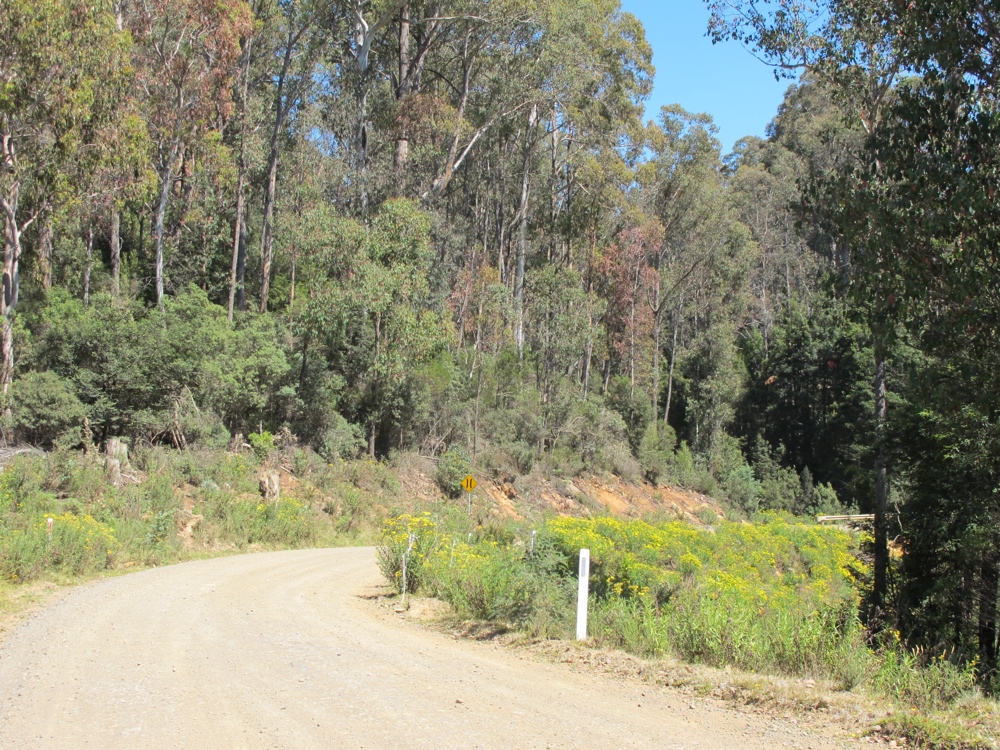
The first half of the road was through forest, mostly pine plantations. Eventually the forest gave way to fields, with periodic views down over the river valley that I chose not to visit.
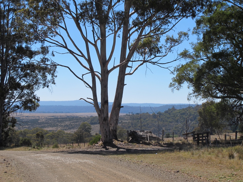
The last few km of the shortcut were more populated, with a scattering of farmhouses. The road was bumpy enough that I was happy to find the pavement again. I was also happy that the shortcut appeared to have bypassed all of the significant climbing for the day. The morning’s hill and bumpy dirt road did a number of my legs though, and by 40km I was feeling like I was about done. Luckily I only had another 18 or so to to, and they weren’t hard. The scenery was actually quite pleasant.
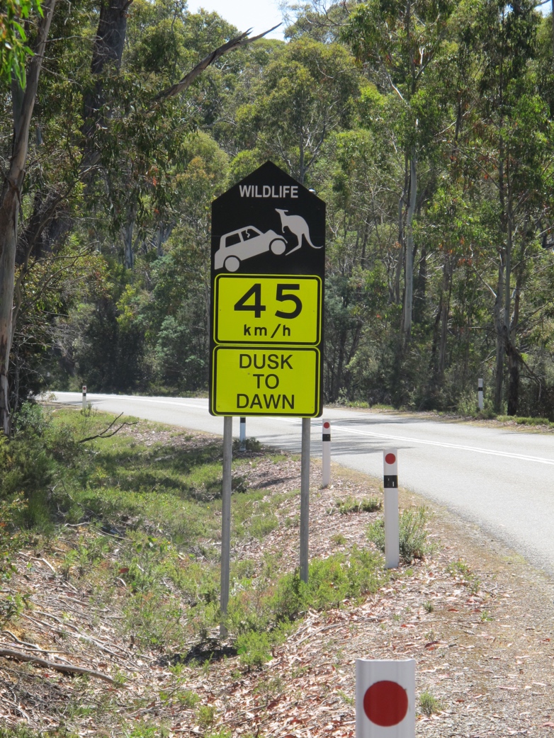
Just past the turnoff for Lake St Clair national park, I stopped to take a picture of another very common road sign around here. There are a few variations, but I find this one most amusing since the kangaroos here are about 2.5 feet tall.
I made it to Lake St Clair and checked in to the (privately run) campground. It’s rather expensive ($25 per night) but it is in a nice place. In general, I think that the actual national park campgrounds have been my favorite so far, but this isn’t too bad, and at least there aren’t lots of large campers everywhere. There is also a restaurant where I can spend lots of money on food that isn’t canned tuna or peanut butter on rice cakes.
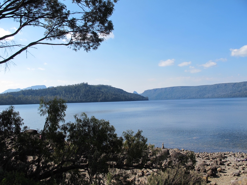
This is the southern end of the same park as Cradle Mountain, which is supposed to be one of the highlights of the north west. It’s also one of the high points of the trip in a more literal sense, with about two days of climbing to look forward to on the way there. But I’ll be going around the long way by way of Strahan, so I won’t get there until the last few days of the trip.
It seems that this whole part of the country is a bunch of parks and conservation areas. This is quite nice, and is probably part of the reason there aren’t that many cars out here. The east coast might be easier in terms of topography, but so far the west is much easier in terms of traffic and the resulting mental wellbeing and relaxation. For anyone trying to be self sufficient for food, there are definitely a lot fewer shops and such. But it turns out people set up cafes and restaurants at all the places with people traveling through, so with a bit of extra money I’ve eaten quite well.
I’ve planned out the last two weeks of the trip, and it seems to work out that I will be doing two days on and one day off for the remainder. The plan was to take a day here in Lake St Clair if it seemed worth exploring tomorrow by foot. There do seem to be a number of appealing footpaths, so I think I will do so. The only thing missing is reliable cell reception, but it’s not so bad to be a bit more removed from the internet for a little while.