Southwest Day 9: Cimarron Campground to Black Canyon of the Gunnison
September 1, 2021. 20 miles, 3019 ft of climbing.
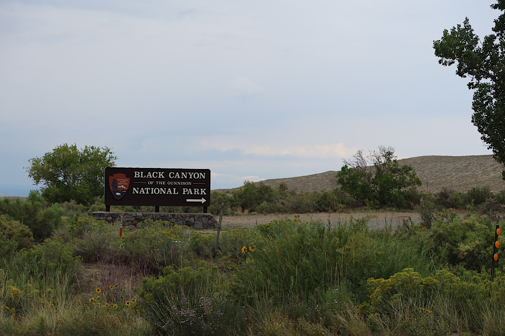
There wasn’t any internet in Cimarron (probably good for me) but I had checked the weather and there was supposed to be rain in the afternoon. I had a reservation for the Black Canyon of the Gunnison national park, only about 20 miles away (though up a big hill), so I decided to try to leave on the early side and try to beat the rain.
As I was riding out of the campground, I chatted for a few minutes with the fellow camped across the road from me. He had done a bunch of bike touring in the Alps with young(ish) children back in the day and said I made him want to do it again with his grandchildren. He also warned me about the rain.
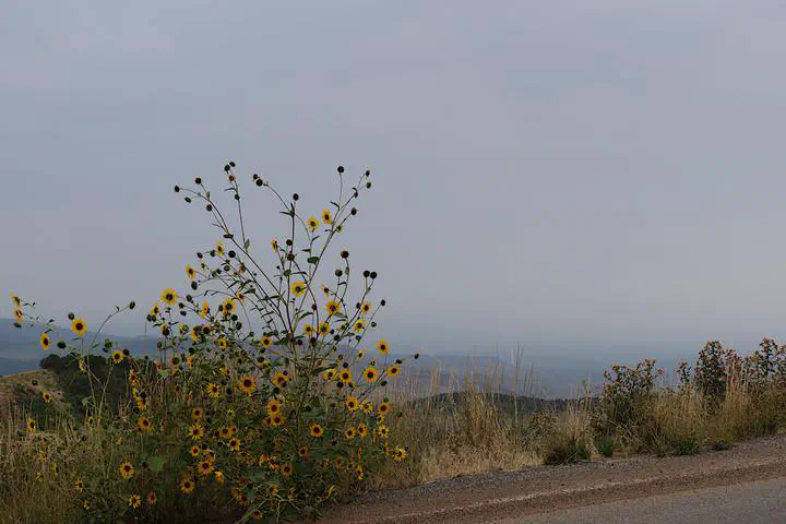
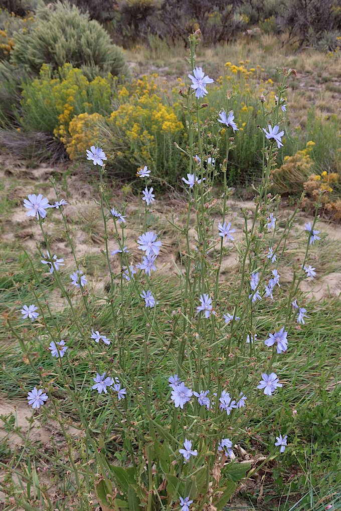
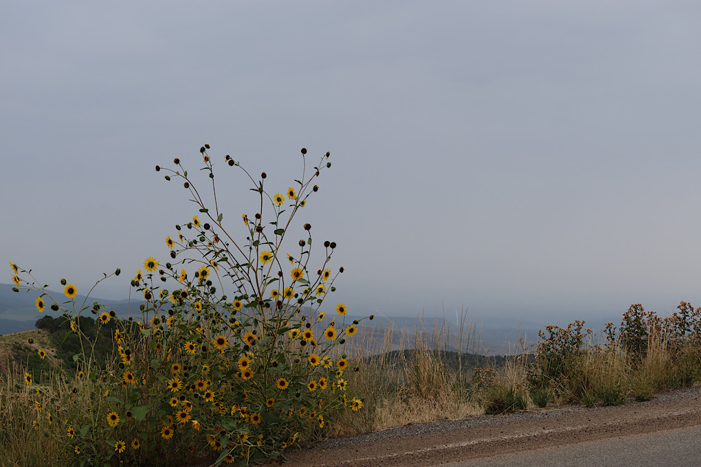
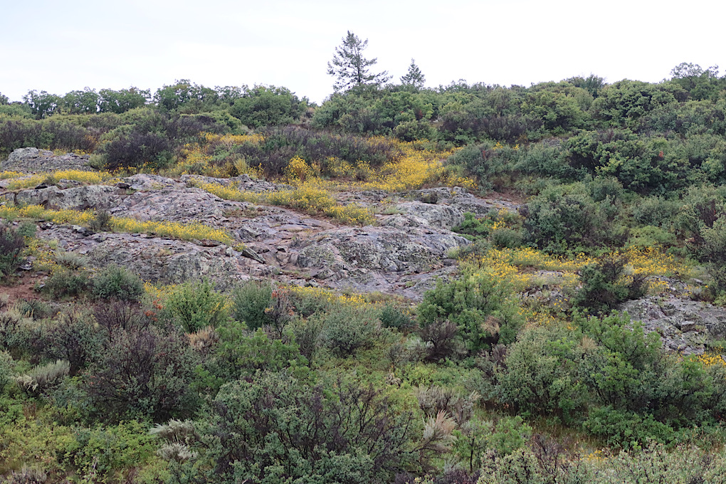
The day started off with a climb. It wasn’t too bad, but definitely slow. When you’re going slowly you notice things like particularly nice wildflowers along the road.
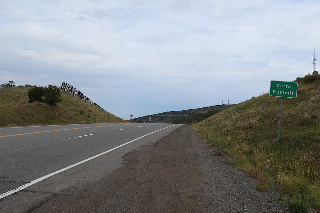
As is usually the case, I eventually made it up the hill (Cerro Summit), and got a nice downhill for a few miles until I got to the part turnoff.
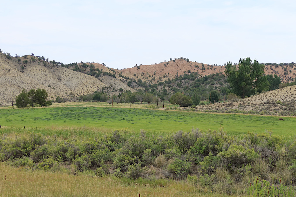
I knew it was going to be a long climb into the park, and it definitely lived up to expectations. I think it’s something like 7 miles. The grade was variable, with a relatively flat part in the middle where there are some active ranches cut into the national park. I saw one road biker zooming down the hill the other direction. It’s been a while since I’ve seen many of those.
I didn’t quite beat the rain. On the second half of the hill I definitely saw the clouds coming in, and by the time I got to the part entrance it was actively raining. It wasn’t cold though, so it wasn’t really a problem. I just hoped I would get a break to set up camp.
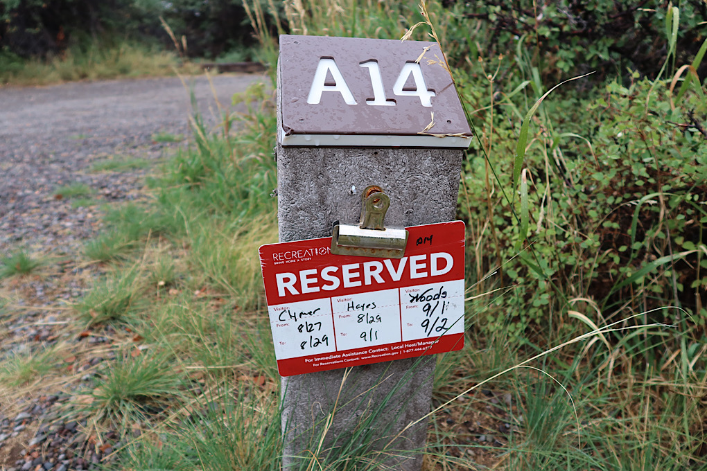
As it turned out, it stopped raining for a bit just as I got to the campground. I had booked the only available site (though it turned out there was a first-come first-served loop in the campground that I didn’t know about), but I think it turned out to also be one of the best sites. The tent area was flat and private, set back from the road.
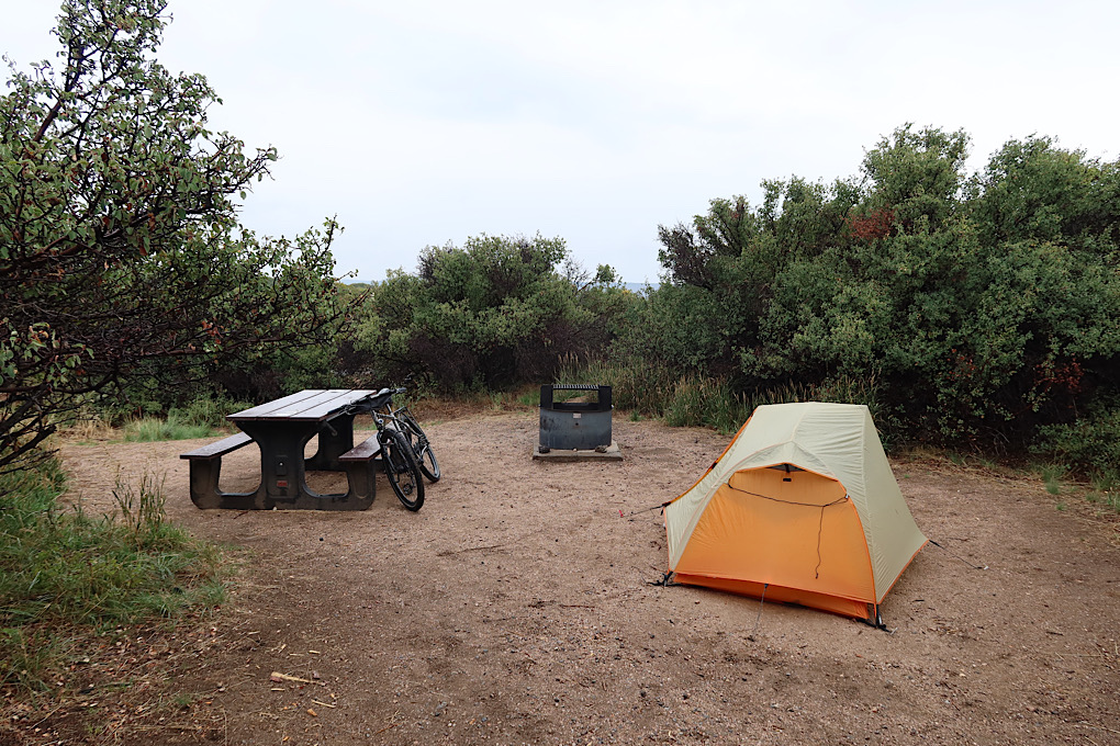
I got the tent set up and everything stashed before it started raining again. I even found the water source in the campround (near the entrance to the loop - a water bottle filling station with warnings not to use it for other things because they have to truck in up here). Though then I hid in the tent for a few hours while it poured. My tent is still waterproof. I took advantage of another break in the rain to cook food, then hid (and napped) for a little while longer.
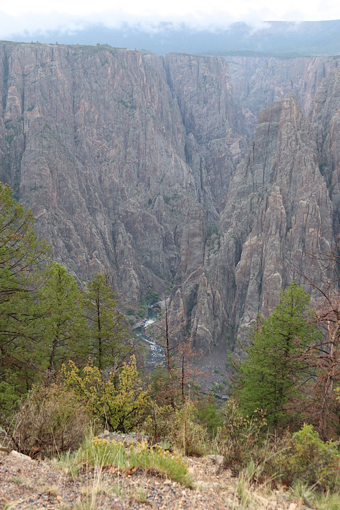
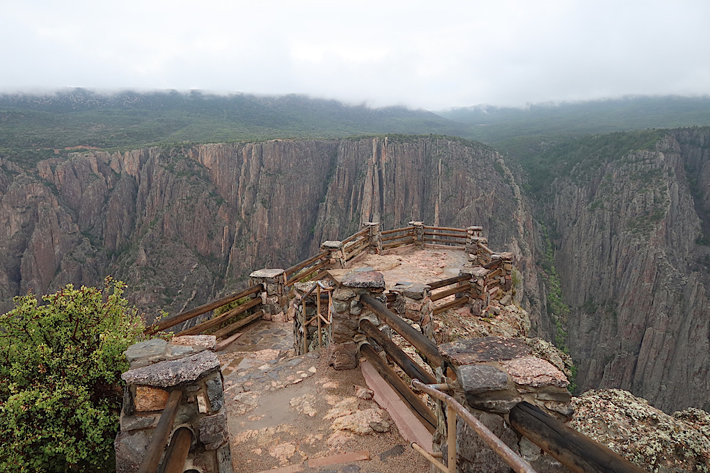
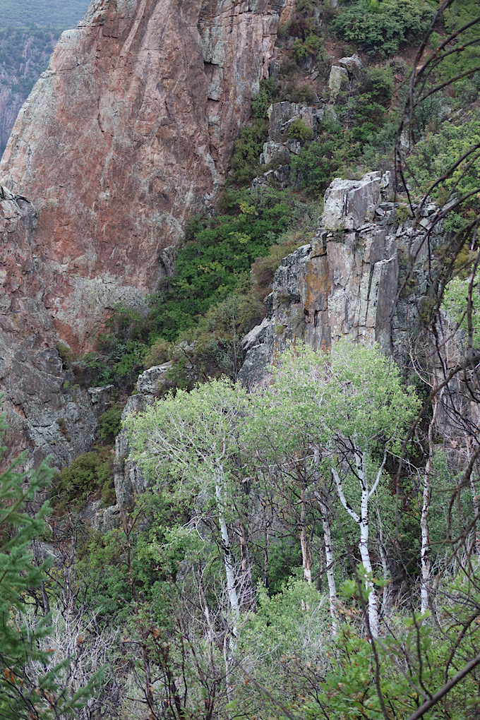
Eventually, it looked like things were clearing up enough that I dared a walk from the campground to the visitor’s center. There’s a trail that goes along the canyon edge to get there. I don’t think it was ever actually dangerous, but it did feel a little precarious, mostly because the canyon is… big. I gather it’s not as deep as the Grand Canyon, but maybe steeper. In any case, it was pretty neat to look at, and probably worth the ride up the hill.
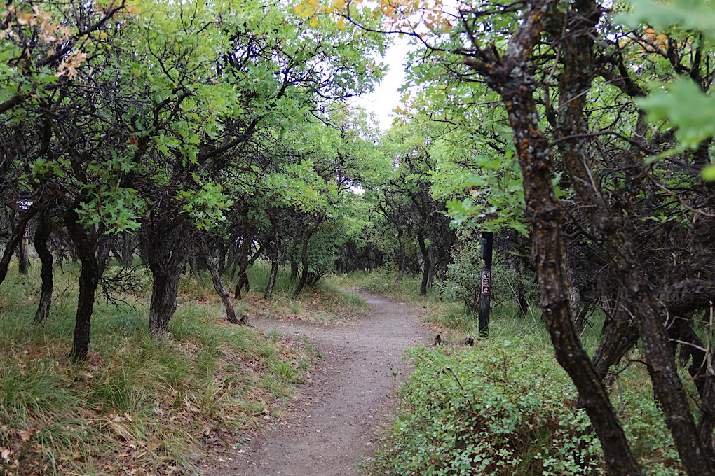
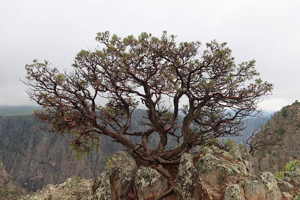
I hung out around the (closed) visitor’s center for a while and then decided to walk back on one of the other trails away from the canyon edge. It still had neat trees and rocks and flowers and colors.
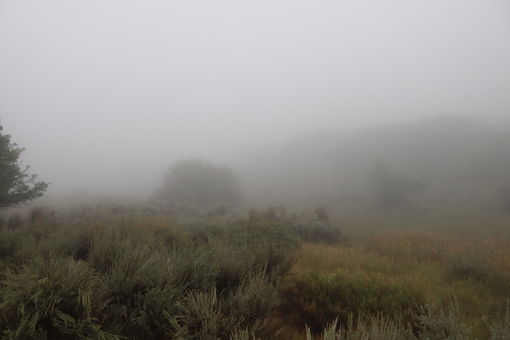
About half a mile from the campground I ended up in a cloud. It was easy enough to see where I was going, but it certainly had an ambiance.
I’m aiming for Ridgway State Park tomorrow, about 30 miles (I think) down the road, so hopefully will get time to see more of the canyon before leaving tomorrow if the weather cooperates.